Proof yourproject moved.
Progress documentation, aerial mapping, and before/after stories for GCs, developers, and land-work companies. Shot on a schedule, delivered while it still matters.
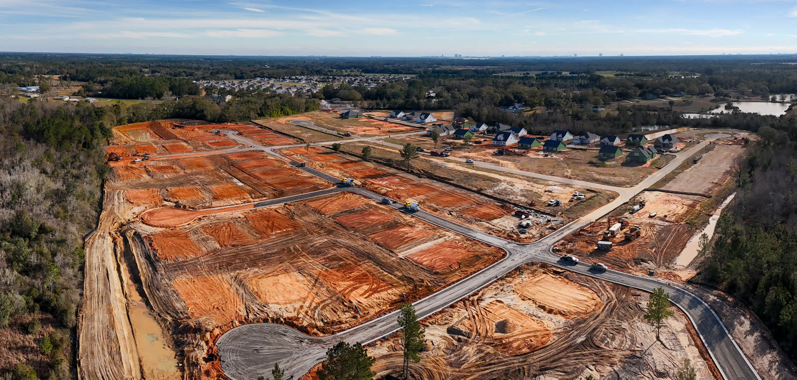
Your work disappears as you do it — dirt gets covered, phases get buried, and a year later nobody remembers the swamp that lot used to be. We document the change: same angles, every visit, so the story builds itself.
Progress documentation
Scheduled flights over your site — weekly, monthly, or phase-locked. Same waypoints every pass so owners, lenders, and your own team see exactly what moved.
Before / after stories
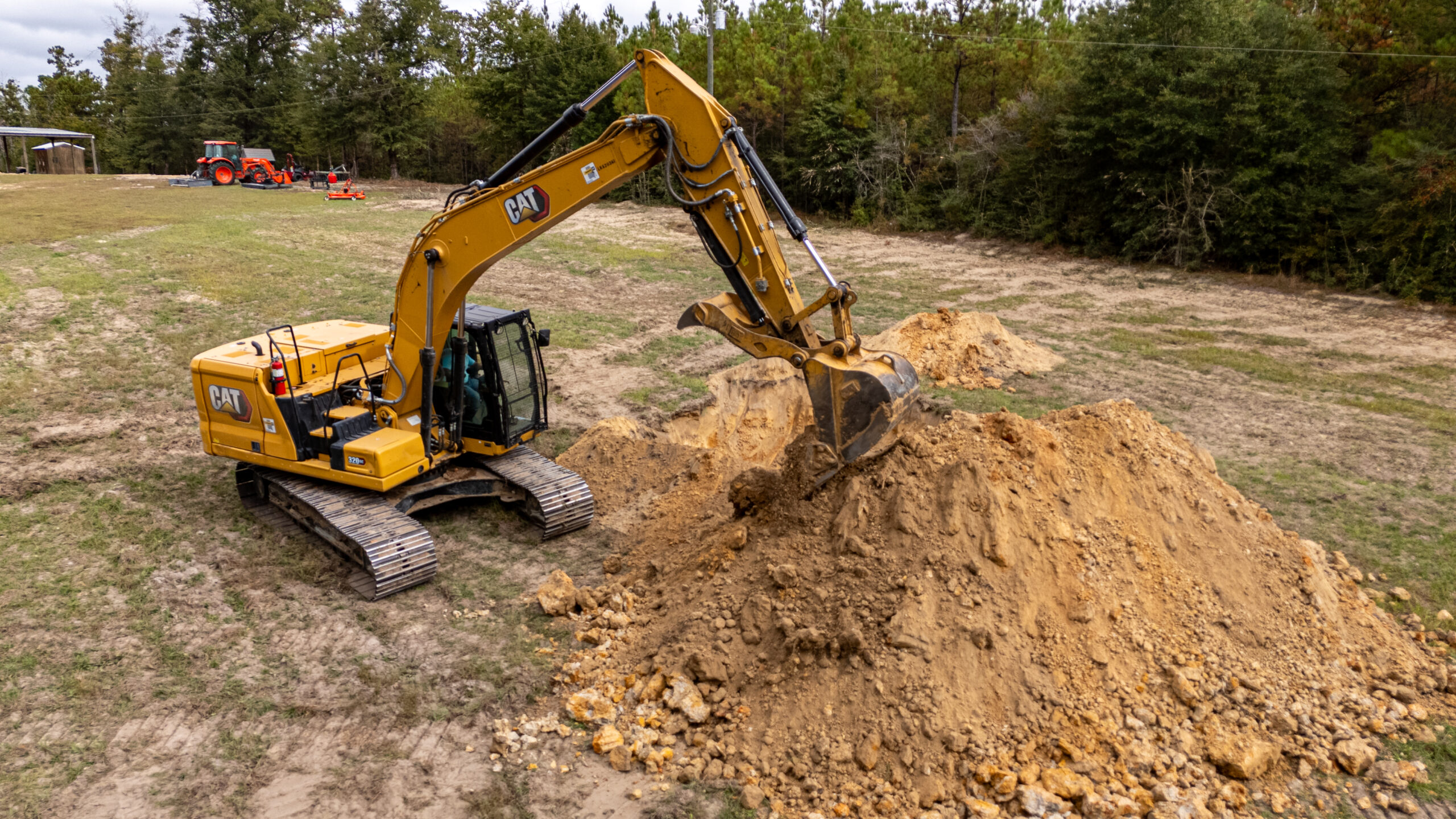
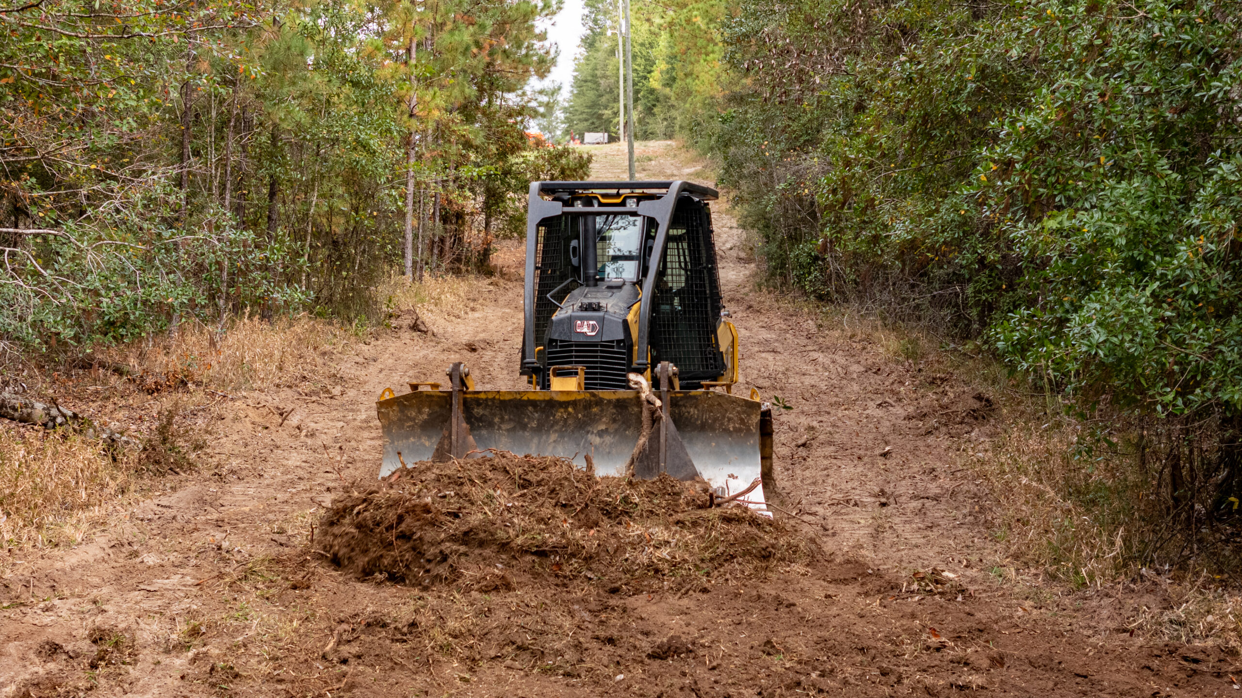
The clearing, the pad, the pour, the finish. Cut into reels your estimator can send with the next bid — proof beats promises.
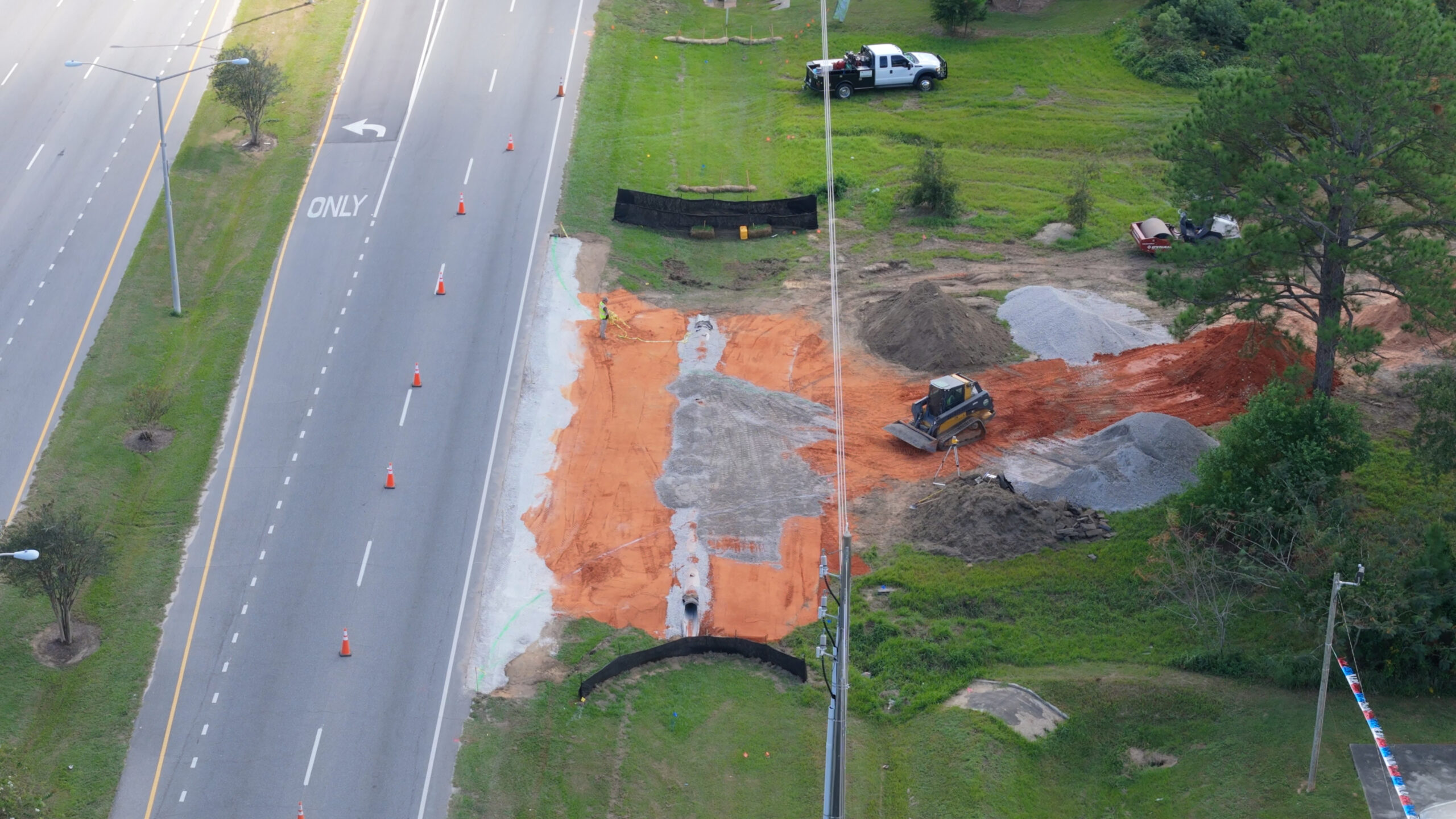
Aerial mapping & orthos
Top-down orthomosaic maps and 3D site models for planning, takeoff checks, and progress measurement.
Inspections & documentation flights
Roofs, towers, ponds, ditches — anywhere it's faster and safer to send the drone than a person.
Marketing content
The same footage that documents your site sells your next one. Photos and reels formatted for your socials and your website.
Crew that gets job sites
FAA Part 107 licensed, insured, PPE'd, and out of your way. We work around pours and crane picks, not through them.
Tell us what you're building.
One short form and we'll talk it through, usually same day. One-off shoots or monthly documentation retainers — scoped to your site.